Heavy rain and strong winds to return to UK with potential for named storm
- BBC News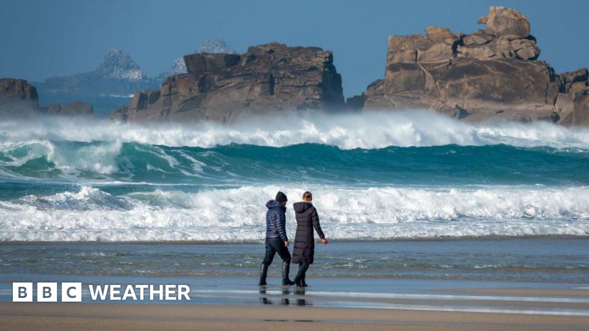
Following rain and thunderstorms late this week, wet and windy conditions look likely to arrive in the UK on Monday bringing the potential for the first named storm since January.
Current forecasts show this low pressure system travelling across the northern half of the UK, with the strongest and most disruptive winds on the southern and western edge of the low.
Some forecasts show the potential for wind gusts of between 60 and 80mph in places.
Forecasts are showing the potential for a deep low pressure system crossing the country on Monday
It is worth noting that Monday is still a number of days away, and in terms of the forecast there are likely to be some changes.
The area of cloud and rain that may bring some of us the stormier spell was still only a band of heavy showers near the Great Lakes in the US on Thursday morning.
As this heads out into the Atlantic it will get picked up by an active jet stream. Its main development into a potential storm may not come until it nears UK shores, which only adds to the uncertainty.
The exact track of the low pressure system will be crucial to which areas may be worst affected and so it is worth staying across forecasts over the coming days to keep across the latest.
If the winds do reach their potential forecast strength then they are likely to have an impact on travel. Power disruption and some damage would also be possible with heavy rain could be an additional hazard in places.
Storm Éowyn was the last named storm to sweep the UK, in January 2025
Because we dont know exactly how the low pressure will interact with the jet stream, it is far too early yet to say whether we are likely to see it being a named storm.
The Met Office will only name the storm, in conjunction with the Irish and Dutch weather services, if they have confidence in there being notable impacts across parts of the country.
The last named storm to sweep the UK was Storm Éowyn at the end of January. The Met Office issued rare red weather warnings across parts of Northern Ireland and Scotland as wind gusts reached speeds of between 80 and 100mph in places.
Widespread travel disruption and damage was reported. Around a million homes were without power at one stage and two deaths in the UK and Ireland were linked to the storm.
Three heatwaves and an ongoing lack of rainfall earlier this summer lead to diminishing reservoirs in parts of the country
Sometimes the passage of a deep area of low pressure system across the UK can help break any re-occurring weather patterns.
In this case there are signs that we may start to see areas of high pressure become more dominant again into the first half of August.
Forecasts for later next week already show a greater likelihood of longer drier and sunnier spells compared to the last two weeks.
Temperatures across southern areas may climb more widely into the mid or high 20s Celsius, but it is still too soon to say if these will once more hit the heatwave threshold levels seen three times already this summer.
While showery spells still can not be ruled out, especially in the north and west, the prospect of something drier and warmer again will appeal to those holidaying in the UK.
Check out the prospects for the rest of summer in our Monthly Outlook.